
Land west of Springwell Hill, Bletchingdon
Access
Vehicle access to the development is to be provided by a new priority junction off Springwell Hill. However, we want to encourage walking into the village to access local facilities, and the use of public transport and cycling to locations further afield.
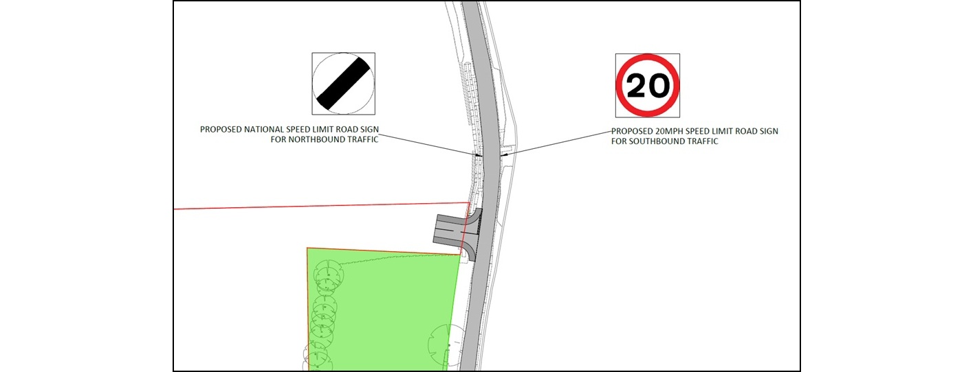
Plan of the proposed vehicle access junction off Springwell Hill
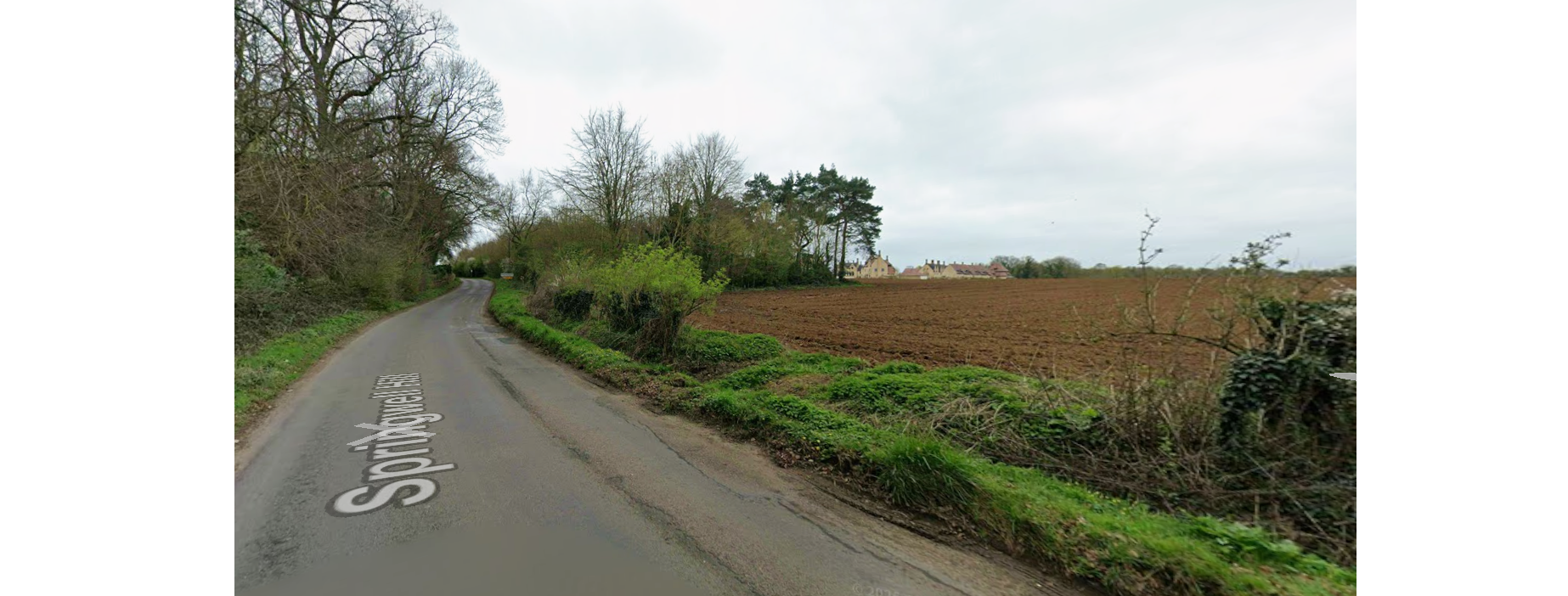
Location of the proposed vehicle access junction off Springwell Hill (image courtesy of Google Maps)
The location of the access has been chosen to ensure that the required visibility is achievable both north and south along Springwell Hill. The access will measure 5.5 metres in width, allowing for two-way movement of cars as well as enabling refuse vehicle to safely enter and exit the site. We are also proposing to extend the 20mph limit on Springwell Hill further to the north to include the proposed access.
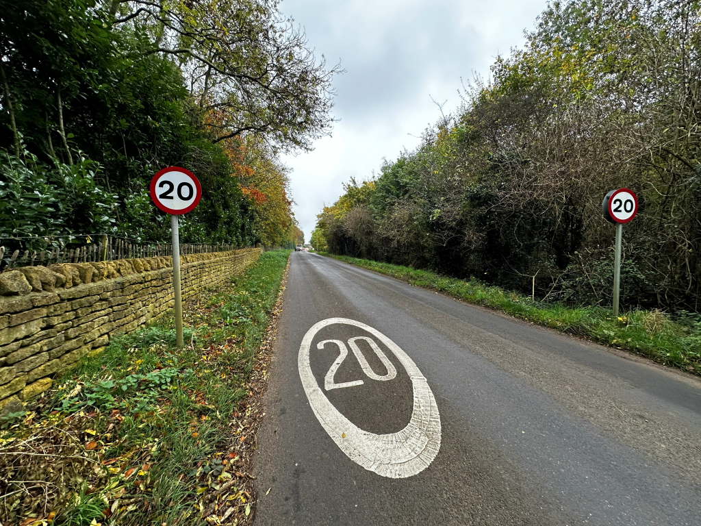
We are proposing the extension of the 20mph limit on Springwell Hill
The retention of the Public Right of Way and the footpath / cycle connection through to Duchy Fields enables us to promote active travel methods as a safe and swift means of accessing the facilities within the village, including the Co-op, the primary school and the village hall. The Public Right of Way also provides a direct route down to the bus stop on Station Road, where the Number 24 bus provides a service to Oxford, Oxford Parkway Station and Bicester.
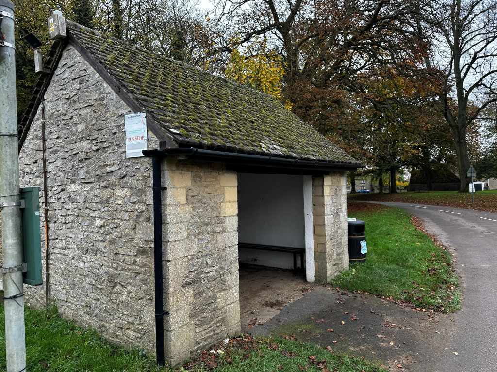
The Public Right of Way provides a direct route to the bus stop on Station Road
We also consider there is a realistic opportunity to encourage cycling to and from the new homes. Bletchingdon is on the National Byway Central England route, providing signposted links up to Tackley Station and down to Islip Station, and also on National Cycle Route 51, connecting to Bicester, Kidlington and Oxford.
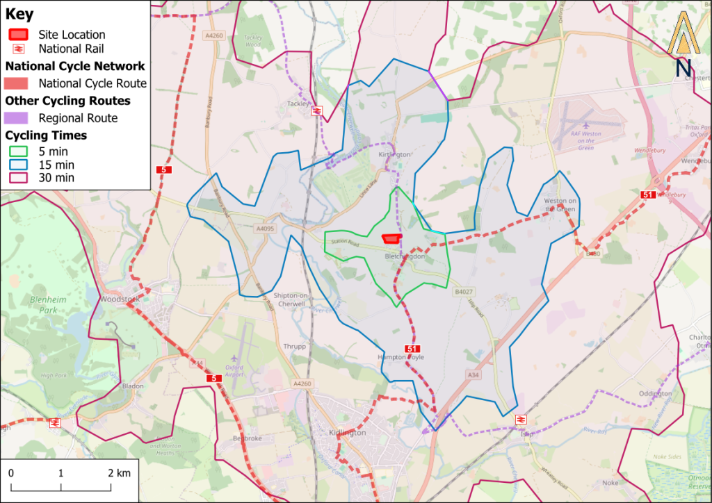
A map of local cycle routes and expected journey times
Contact Us
If you have any queries, please contact Jamie O’Sullivan of SP Broadway on 07503 201 876 or at jamie@spbroadway.com